Thursday, August 25, 2011

Afternoon on the Ridge

A couple of Wednesdays ago, I went for a hike with my brother, Townley Chisholm, an old friend from camp who teaches at Exeter, and Townley's daughter and her friend up Mt. Monroe. It was an absolutely sparkling day, the kind that only appears four or five times in an entire summer.

When I worked at Pasquaney, Townley and I took a couple of "nature hikes" to look for the Dwarf Cinquefoil, a rare plant that I have written about elsewhere. Because it is so small, barely larger than a quarter, we were never able to find it. However, AMC friends later pointed it out to me, and now it was my turn to show Townley. We also did some poking around at the top of Oakes Gulf and got particularly interested in the lichen thanks to Townley, who is truly a lifelong student (and teacher) of biology.

The jaunt also allowed for some socializing up at Lakes, where I had stayed earlier in the summer. It was the day before the end of the summer season, and the Huts Manager and his assistant were up training new fall croo. Townley actually ran into a former student, while I was able to horse around with my old croo mate, Nick Anderson, who was Hutmaster at Lakes this summer.

I'd never gone swimming in the Lakes before but was persuaded to go for a dip. My entrance was considerably more cautious than Nick's, however.

It was cold! But deeply refreshing.

This creature, Moseby by name, belongs to Townley. I think the hut naturalist should use him for a joke program, something along the lines of "Habits of the Alpine Deerhound"

On the far side of Monroe, we saw this fellow swooping in toward Eisenhower.

I assumed that someone was pretty badly hurt down there, but the chopper made a couple of passes, so its crew was probably simply training. Bad luck for anyone up seeking the freedom of the hills in its vicinity. Later on, the hut croo confirmed that, since their radio was quiet, nothing had gone wrong.

Seeing a helicopter up in the mountains still gets my pulse racing.


Monday, August 1, 2011

Terraces and Raised Beds

In grad school down at UT, we read quite a bit about various agricultural adaptations in the Pre-Colombian Americas. Public knowledge about the sophistication of indigenous civilizations is improving (do elementary schools still teach, as they did when I attended mine, that all Indians were essentially hunter-gatherers?), but my sense is that people still do not appreciate the scale of development, especially in Central and South America. It was the article The Lost City of Z, published four or five years ago in the New Yorker, that opened my eyes. David Grann, an magician of an author who turned the piece into a book, highlighted archaeological finds in the Amazon that are consistent with an account by a Spanish conquistador, Francisco de Orellana, of vast settlements. After Orellana passed through, smallpox and other diseases ravaged the population, and since inhabitants relied on mud and wood as construction materials, decay erased the built record to all but the most astute eyes.

In the Andes, the Incas were only the last of several empires that flourished. One of their predecessors, based at Tiwanaku near the south shore of Lake Titicaca, developed into a city of 15-30,000 people, with hundreds of thousands more tilling the shores around the lake. Since Lake Titicaca sits high on the Altiplano, at 12,500 feet, well above the Andean treeline, these people had to develop incredibly sophisticated methods of farming to survive in the harsh alpine climate. And yet, they not only scratched out their existence but thrived, making Tiwanaku the seat of an empire that stretched up and down the Pacific coast for hundreds of miles and reached east into the lowland jungle.

When I took the bus to Copacabana, a touristy little town on Lake Titicaca just east of the border with Peru, I had ample opportunity to scrutinize the hillsides. At one point, we had to get off the bus to cross a small strait (the bus rides in one rickety wooden boat, the passengers on another due to an unfortunate capsizing a few years back). Above the dock, the hillside climbed several hundred feet, every inch of it covered in crumbling terraces. Nowadays, people only till the flat lands closest to the lake (though they don’t seem to have any mechanized system of irrigation). The amount of labor it took to carve the hillsides into terraces is mind-boggling: people must have swarmed across these hillsides like ants, once.

Proximity to the lake affords a major advantage for farmers, as the massive body of water acts as a heat sink, extending the growing season considerably by warding off destructive frosts. The locals further developed this system in miniature, in what is known as suka kollu or raised bed agriculture.

On the floodplain adjacent to the lake, farmers created a series of long, relatively narrow (several meters wide) beds, interspersed with channels fed by lake water. Again, the water served as a local heat sink, extending the growing season and, at times, mitigating the effect of the harsh Andean sun. Irrigation was easy, and when soil on the beds grew exhausted, farmers could reach to the bottom of adjacent channels and scoop up mud rich with nutrients from decaying plant matter. While crops such as potatoes were rich in carbohydrates, waterfowl and fish in the channel provided a convenient source of protein.

Contemporary farmers in the region have lost the knowledge to cultivate these fields, but a few experiments by social scientists have found that the raised bed system can yield ten times as much produce as conventional methods and one and half times as much as conventional methods supplemented with artificial fertilizers and pesticides. It is not easy to convince the local population to adopt unfamiliar methods of farming, however.

Back near the capital city, Andrew, Tom and I went for a walk along a ridge west of La Paz. Our perch had tremendous views of Illimani, a giant 6,000 meter peak that looms over La Paz, as well as the agriculture along the valley walls. Innumerable fields, most long abandoned, were visible. Since the climate is so dry, it takes centuries for wild plants to recolonize tilled soil.

The population pressure to cultivate such seemingly marginal landscapes must have been intense. That people did so and were able to build a thriving civilization seems to convincingly refute the Malthusian thesis.

Friday, July 29, 2011

Three Weeks in Bolivia

A good friend of mine from grad school, Andrew McCown, entered the Foreign Service after graduating from USAID. After several months of training in DC, he was posted to La Paz, Bolivia. When he left in February, I was already hatching plans for a visit. I loved my month in Ecuador in 2003, and Bolivia has a great many items of interest for a geographer. And, in addition to having a comfortable base at Andrew’s house in La Paz, another of our pals from UT, Tom Barnett, was cajoled into joining us for ten days. Having steeped in Latin American geography while in grad school, we had a lot of fun thinking about our professors and various articles we had once encountered on such once obscure topics as raised beds and lithic mulching (more on these subjects, anon).

I hope to write several entries about the trip over the next couple of weeks, but let me begin by describing the singular nature of La Paz, where I spent the plurality of my time in Bolivia. Many people know that it is the highest capital city in the world, and indeed, when I first arrived, late at night in early July, I could feel the difference in the air as soon as the cabin depressurized. Each breath simply was less rejuvenating than what I was used to, particularly as I began moving about.

As we drove away from the airport, through an area known as El Alto (in fact, a separate city from La Paz), I became keenly aware of drab brick and stray dogs, with little evidence of the mountainous landscape that I had anticipated. Then, we abruptly dropped off the side of what turned out to be the altiplano, the enormous alpine plain that occupies most of western Bolivia, into the canyon across which La Paz sprawls. A rolling carpet of stars unfurled beneath me as if the night sky had suddenly turned upside-down.

In most cities, the wealthy live high up, for a better view, but the inverse is true in La Paz due to the climate. El Alto, it turned out, is notoriously poor and unsafe. Most people who live there are Aymara Indians, so the town has a great deal of cultural significance—it’s the largest concentration of these indigenous people in the country—but it’s also the kind of place where people string up dummies on lampposts to signal that vigilante justice is in effect.

Andrew’s house (provided by USAID) was down in La Zona Sur, a couple thousand feet below El Alto (the airport is over 13,000 feet). It became noticeably easier to breathe during the descent, which was long and steep. Bad as the city must be for car brakes, I never saw a cyclist during the entire trip. La Zona Sur is a world away from El Alto— it’s warmer and less windy and is full of substantial houses and apartment buildings. The population is generally white and, if the omnipresent billboards are anything to go by, aspires to American style consumption patterns.

To go anywhere at all in Bolivia, I needed to drive up to the altiplano, so I saw quite a lot of La Paz’s various strata over the ensuing weeks, often from the back seat of a wildly weaving taxicab. The sleek chic at the bottom gave way to the ubiquitous chaos of downtown and, once over the canyon lip, drab, austere El Alto. To return to La Paz by car is like driving into a city from Biblical times: from far away across the brown plain you can see the outlying sheep grazing on brittle grass, and then the clusters of earth-colored corrals and houses, and, finally, highest on the skyline, for the missionaries have succeeded in their work, the white steeples of evangelical churches. Such a skyline could not exist in the developed world.

Sunday, May 22, 2011

Alleys of Bloomingdale

Between the warmer weather and a recent unit on urbanism in class, I’ve been getting out and about in DC more of late. There’s a neighborhood called Bloomingdale not too far from where I live. 1st Street, which runs north-south smack through the middle of the area has, for my money, the prettiest stretch of row houses in DC.

In mountain climbing, the word gendarme, from the French for policeman, is used to describe a pinnacle of rock atop a ridge. The term could apply to these rooftops.

Apparently the kind of feathery border around the edge of the transom in the photo below is typical of Richardson Romanesque, an architectural style that was popular around the end of the nineteenth century (name for architect Henry Richardson, whose most famous design is Trinity Church on Copley Square in Boston). Harry Wardman, a developer who built thousands of row houses around that time in DC, was very taken by the style.

Bloomingdale's east edge is North Capitol Street, a thoroughfare for commuters driving into the city from Maryland and the dividing line between the northeast and northwest quadrants. Bloomingdale is a good deal further east than Shaw and Columbia Heights and thus gentrification, while well underway, is not quite so far along. Here and there, a house with boards over its doorway and windows interrupts the gingerbread rows of 1st Street. A pair of corner stores also remain alive on the street, indicating that a substantial segment of the older black population in the area remains. Indeed, after I took a picture of a particularly handsome house (not the one featured below) and inadvertently included its owner, an old African-American lady, she volunteered that she had been living on the same spot for 48 years and had no intention of selling.


Bloomingdale’s situation is somewhat different from that of Columbia Heights and Shaw, which may also explain the slower redevelopment. It is, for DC, distant from a metro stop, and it lacks a vibrant shopping corridor. What appears to have once been the main commercial strip for the neighborhood, along North Capitol, is now the province of cheap take-out and dollar stores. However, the intersection of 1st and Rhode Island has become the locus of upscale commercial development, with a café and restaurant opening up recently. A little further south is Big Bear Café, one of the city’s most popular coffeeshops, which seems to have particular cachet with the urban hipster crowd. I’ve been in on three or four occasions, and every time it has been packed to the gills with a young, well-heeled crowd. My impression is that Big Bear is both a gateway to Bloomingdale for outsiders and an anchor for new inhabitants, what geographers might call the central node of a functional region. (Note the bear mural in the upper left hand corner.)

I was curious about the backs of some of the row houses on 1st Street, so I made a foray into the alleys on both sides of the streets. Sometimes the city, like the fronts of these row houses, can seem a bit reserved and formal, but the rear of buildings are generally host to a glorious mélange of squalor and creativity. As James Borchert relates in Alley Life in Washington: Family, Community, and Religion in the City, 1850-1970, DC alleys have long housed inhabitants, but thanks to shifts in mobility and the efforts of progressive reformers, they transformed into garages and recreational backyards during the middle of the twentieth century.

But perhaps the pendulum is beginning to swing back. Along the alley to the west of 1st Street, locals have refurbished old carriage houses, turning them into permanent dwellings. The surrounding blocks, like many in DC, form a square, creating the possibility of public space in the interior. In most cases, the interior simply gets divided up into parking, but here, the buildings are lovingly tended to. They are small, but their owners lavish them with an intensity of decoration that correlates inversely with their size (note the solar panels on the roofs). Apparently deliveries are such an issue along this alley that the city gave it an official name this year: Bloomingdale Court.


The next block up revealed what appeared to have been an old stable. The doors were locked, however, and a pair of old cars (one, an ancient VW Westphalia) parked along its walls are marked to be towed. The unmistakable scent of urine was in the air, and a dog barked from somewhere within the building, so someone seems to be making use of the shelter.

The next stretch of alley is host to great contrasts in use.


On the other side of 1st Street, I noticed a remarkable flow of people entering a particular stretch of alleyway. They led me to Crispus Attucks Court, a park that occupies an entire block’s worth of land. Saturday in the park was essentially a large flea market, with probably 50-75 people flitting around checking out each other’s wares. A band was playing, and I bought a hamburger from some guys who were working away at a grill. The only way to access this scene was through an alley.

The park is the product of two decades of perseverance. The block was once occupied by an industrial building, but after the city foreclosed on it in the 1998, the neighbors formed a community development corporation and convinced the city to allow them turn it into a tax-exempt park in exchange for guaranteeing public access. Needless to say, given its isolation, the park has an intensely local flavor.

Finally, farther up the alley, I came across this mural. It has caught my eye before while biking through the neighborhood. I spied a fellow sitting nearby on his porch and asked him about it, but he did not know about its origins.


This satellite photo shows both Crispus Attucks Court and the some of the alley interiors on the west side of 1st Street. The neighborhood certainly is dense, but the landscape is infused with all the more energy for its many inhabitants.

Tuesday, March 29, 2011

Lion's Head to Boott Spur

Spring break afforded me a chance to get up to the Whites, where it is still very much winter, despite the nominal change in seasons. Last Friday, RD and I made another foray into the Presidentials. Though the Mount Washington Observatory predicted fog and light snow showers, we decided to head up Lion’s Head, planning to turn around if the clouds failed to lift.

Summer or winter, the first few miles are always the hardest. A winter of sloth in Washington takes some time to shake off, and the Tuckerman Ravine Trail is a dull, highway of a trail up to its junction with the Lion’s Head Trail. Here, we gratefully turned right, and a couple hundred yards later, encountered an idling snow cat where the road became a footpath.

Almost immediately after turning into the woods, the trail steepened substantially. Luckily, we put on our crampons just before we reached the steepest section, an uncomfortable scramble that I would not have liked to descend. A little further on, the pitch subsided but the wind picked up, and the trees we passed were noticeably smaller. Before long, we needed to bundle up in earnest.


We stopped for a solid snack on top of the Lion’s Head, and there, entirely above the treeline, we could see across Tuckerman’s Ravine to Boott Spur. The bowl was full of fresh snow (avalanche danger was high, according to the sign in Pinkham Notch), and the wind was whipping the clouds into feathery fluff on the opposite ridge. However, we easily had enough layers on, and the feeling of adequate preparation was a tonic.

Moving across the Alpine Garden, we saw three dots, climbers with whom we had traded places several times (we were not above letting them go in front so that they could break the trail), beginning to ascend the summit cone of Washington. But the climb looked like a slog through deep powder, and the summit was still in the clouds, so we began to loop around the ravine, with Boott Spur as our next goal.


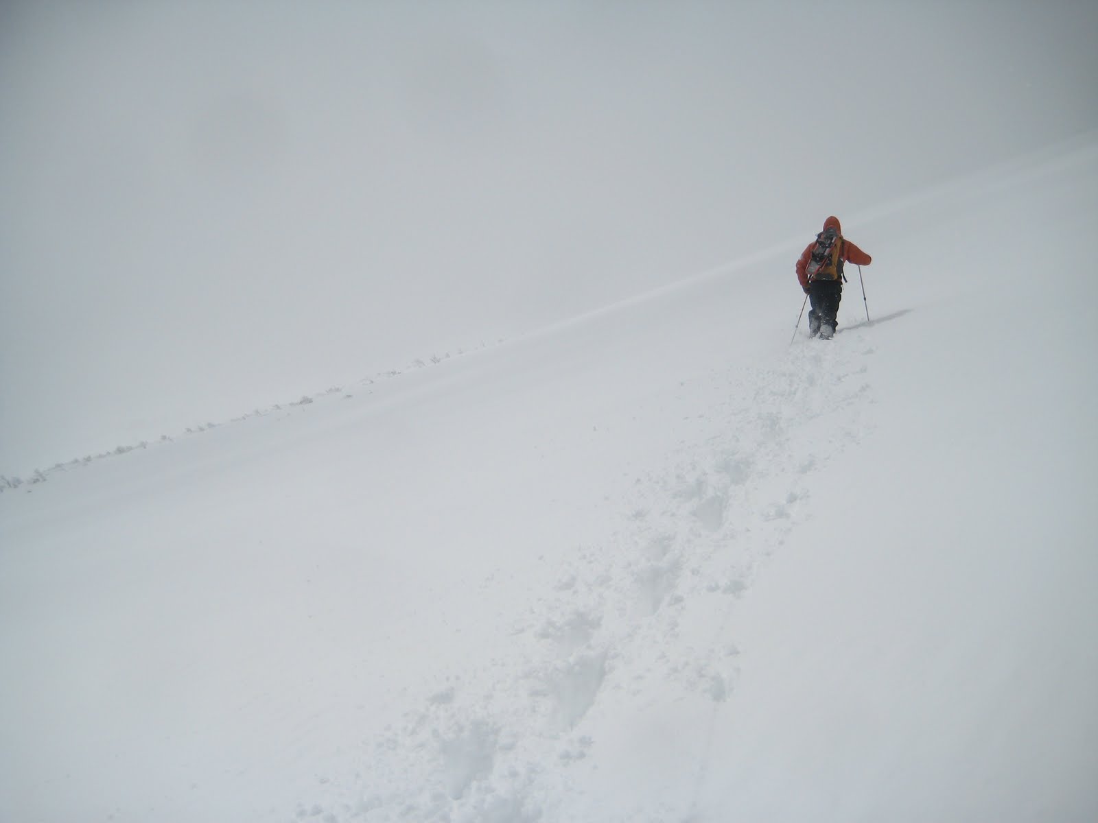
The wind was sharp but variable, and a swirl of clouds rushed past overhead. At times, we were engulfed by white, but we knew that if we kept the small balsams to our left, we were in no danger of approaching the Ravine. The advantage in cultivating young climbing partners is that it leaves you little opportunity for trail breaking. Once over the ridge that marks the east edge of Bigelow’s Lawn, we turned left and soon encountered the cairns of the Crossover Trail. We followed these to the junction with the Davis Path, and then proceeded south, following the long, familiar line of cairns. Bigelow’s Lawn was absolutely deserted, white and clean and otherworldly.


At the junction with the Boott Spur Trail, we could ease up a bit, as only downhill remained. Sheets of ice, for some reason, covered much of the ridge, allowing us to test out our crampons. Clouds still engulfed us from time to time, dramatically altering our perspective. One moment, I considered sliding down a long slope of powder but decided it was too steep; a moment later, the clouds shifted to reveal that it was only a few yards long.

At the bottom of Boott Spur, we could not find where the trail entered the trees. The path takes a sharp left off the ridgeline, engulfing us in shadows. As we looked for a helpful cairn, I post-holed into powder up to my armpits. We put on our snowshoes and decided to circle around to the west, where we could find the Boott Spur Link, which descends into the Ravine. We came across its cairns unexpectedly soon, thankfully – I was not excited about the extra ascent.

From there, our descent was swift. The Boott Spur Link is very steep; in our snowshoes, we could practically sled down. The Tuckerman Ravine Trail is far more pleasant as a cool-down than a warm-up, and we were back at the Pink Ham by four. Nine more months until next winter.