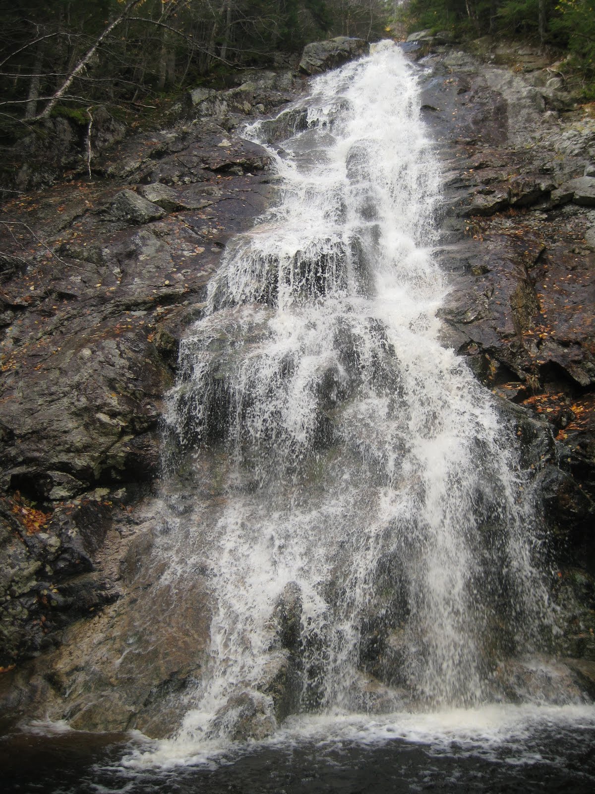
Over the Columbus Day weekend, I flew up to New Hampshire, while my old pal from the huts, RD Jenkinson, drove over from Middlebury to meet me at the Manchester airport. RD and I worked at Mizpah (the Black Pah) in the fall of 2006, when we bonded over dressing up in drag to entertain hut guests and traversing the Presidentials at night to raid Madison and Lakes.
RD’s family recently bought a house up in North Conway, so we spent our first night there rather than hike up in the dark to Greenleaf, where we were meeting another friend of mine who has appeared in these annals. As we had some time to play with on Saturday morning, we hiked up the Nancy Pond Trail to Norcross Pond, which sits on a plateau between Mounts Nancy and Anderson at the eastern edge of the Pemigewasset Wilderness.
The Nancy Pond Trail was first cleared in 1938—the year of the Hurricane of ’38. Little of the trail remained in the wake of the storm. The next year, the Lucy family built a mill about halfway up to Nancy Cascades to salvage some of the downed timber, but little else happened along the old path until the sixties, when Camp Pasquaney, thanks to an extraordinarily energetic and hard-working counselor named Dave Ryder, reopened the old trail. He still works at camp, running the wood shop. When I was a camper, he was known for demonstrating the sharpness of an ax by using it to shave his arm hair.
I attended Pasquaney for five summers as a camper and returned for another five as a counselor. During seven of those summers, I spent five days in early July on ten man expeditions doing trail maintenance along the Nancy Pond Trail. Often we would camp by Norcross Pond, which empties to the west, into the Pemigewasset watershed. The stream has scoured a series of rock ledges, which are a good place to drop one’s pack and gaze west at the Bond Range. It is an ideal place to cook and sit around with your group.

One year, when I was leading an expedition in the region for the first time with an older counselor named Trey Winstead, one of the boys, a thirteen year old who was particularly energetic and mischievous, grabbed a grub hoe and ran off to dig in the mud holding back the pond behind us. Trey and I exchanged glances, relieved to have the boy occupied while dinner cooked. A few minutes later, however, a sheet of water washed over the ledges where we sat, and it did not abate. Luckily, the camper was able to put things back to right, but the pond had lost a couple of inches.

More recently, beavers recolonized Norcross Pond, for the first time, I believe, in camp memory. The lake now sits several feet higher than it used to, and much of the old trail that ran around the lake is now submerged. Last year, the Forest Service, assisted by Pasquaney, rerouted the trail to higher ground and installed dozens of new bog bridges. In the old days, camp might have handled all the work itself, but I am glad that we are now focusing on what we can do best (keeping the trail clear), leaving the heavy work to professionals.


Our hike was on a cool, crisp day—the best of New England fall. By the edge of the pond, the wind was swift and steady, forcing us to seek shelter in the forest while we ate lunch. In addition to the dam, the beavers have constructed a substantial lodge on the north side of the pond. Like the dam, it looks solid and well maintained.

Beavers have been on the move all over the Whites recently. I believe they have resumed activities in the Zealand Valley since I worked at the hut in 2008, causing some flooding to the trail there, too. Alex MacPhail included a photo on his blog not long ago of
a metal pipe someone had stuck through a dam to improve drainage. When I was the naturalist at Zealand, I gave a program, usually to younger visitors, called “Our friend, the beaver,” for which I learned that beavers, despite their reputation, don’t actually work all that long during the day. They are incredibly energetic during those hours that they are active, however. Apparently the sound of water stimulates their dam-building acumen. That pipe won’t be effective for long.
A few summers ago, a beaver turned up in the vicinity of Lakes of the Clouds Hut, no doubt having climbed up Ammonoosuc Ravine. It must have disappointed to find no trees to fell across the outlet of either lake, and I am curious where this singularly persevering rodent waddled off to when it left.
In celebration of this resilient beast, then, nearly hunted to extinction for its pelt, I offer a song that I learned while working at the W. Alton Jones Field School:
Beaver one, beaver all,
Let’s all do the beaver crawl!
Cha-cha-cha, cha-cha-cha,
Cha-cha-cha, cha-cha-cha.
Beaver two, beaver three,
Let’s all climb the beaver tree!
Cha-cha-cha, cha-cha-cha,
Cha-cha-cha, cha-cha-cha.
Beaver four, beaver five,
Let’s all do the beaver jive!
Cha-cha-cha, cha-cha-cha,
Cha-cha-cha, cha-cha-cha.
Beaver six, beaver seven,
Let’s all go to beaver heaven!
Cha-cha-cha, cha-cha-cha,
Cha-cha-cha, cha-cha-cha.
Beaver eight, beaver nine,
Stop! It’s beaver time!
Go beaver! Go beaver! Go Beaver!

 RD and I spent two nights at Greenleaf, visiting Ari Ofsevit, an old friend of mine from college. The fall I worked at Mizpah, Ari was finishing the AT (it made a good topic for our alumni magazine, as it turned out), and he visited me at Galehead and Zealand a number of times. Finally, he could resist applying to work in the hut no longer, and he took a job as naturalist at Madison last summer. I've been eyeing the slides on the east side of Lafayette, which extend far down into the valley shared with Owl's Head, for several years, and our plan on Sunday was to circle around via the Franconia Brook Trail and hike the slides from the bottom.
  At night, the temperature dipped into the teens, making for a substantial amount of frost and rime above treeline. Given the conditions, we decided it would be better to stay in the hut and stuff ourselves with bacon for most of the morning, but we did eventually head up to the ridge once the day warmed up. Here is one of the croo members, Laura, on the upper section of the Lafayette summit cone.
 Mike, the assmaster, with Cannon cliffs and Lonesome Lake in the background. Laura was off to Galehead for days off, so for the rest of the afternoon it was the four guys. We spent a long time on the summit working on our Boston accents.
  Though the slides were out of reach, there is a bare spur on the east side of Truman, the satellite peak between Lafayette and Lincoln, that exerted a pull. I was intrigued by the novel perspective on the Pemigewasset, not to mention the view back toward the slides and Franconia Ridge.
  The going wasn't too bad, but there were a few patches of krummholz that wouldn't give in easily.
 The view back toward the ridge.
  Having a rest on the spur. It was a spectacular fall day, with plenty of warm fall sunshine that felt delicious in the crisp air.
 A closeup of the cliffs on Garfield from a new point of view.
  A look back at the Lafayette slides.
  South across the eastern ridges of Liberty and Flume.
 Looking across Owl's Head to Bondcliff.
  Back up on the ridge, looking across the ridge that Greenleaf straddles, into the north country.
 Now headed back down to the hut to get ready for dinner.
  Dusk at croo rocks.