 Spring break afforded me a chance to get up to the Whites, where it is still very much winter, despite the nominal change in seasons. Last Friday, RD and I made another foray into the Presidentials. Though the Mount Washington Observatory predicted fog and light snow showers, we decided to head up Lion’s Head, planning to turn around if the clouds failed to lift.
 Summer or winter, the first few miles are always the hardest. A winter of sloth in Washington takes some time to shake off, and the Tuckerman Ravine Trail is a dull, highway of a trail up to its junction with the Lion’s Head Trail. Here, we gratefully turned right, and a couple hundred yards later, encountered an idling snow cat where the road became a footpath.
 Almost immediately after turning into the woods, the trail steepened substantially. Luckily, we put on our crampons just before we reached the steepest section, an uncomfortable scramble that I would not have liked to descend. A little further on, the pitch subsided but the wind picked up, and the trees we passed were noticeably smaller. Before long, we needed to bundle up in earnest.

 We stopped for a solid snack on top of the Lion’s Head, and there, entirely above the treeline, we could see across Tuckerman’s Ravine to Boott Spur. The bowl was full of fresh snow (avalanche danger was high, according to the sign in Pinkham Notch), and the wind was whipping the clouds into feathery fluff on the opposite ridge. However, we easily had enough layers on, and the feeling of adequate preparation was a tonic.
  Moving across the Alpine Garden, we saw three dots, climbers with whom we had traded places several times (we were not above letting them go in front so that they could break the trail), beginning to ascend the summit cone of Washington. But the climb looked like a slog through deep powder, and the summit was still in the clouds, so we began to loop around the ravine, with Boott Spur as our next goal.
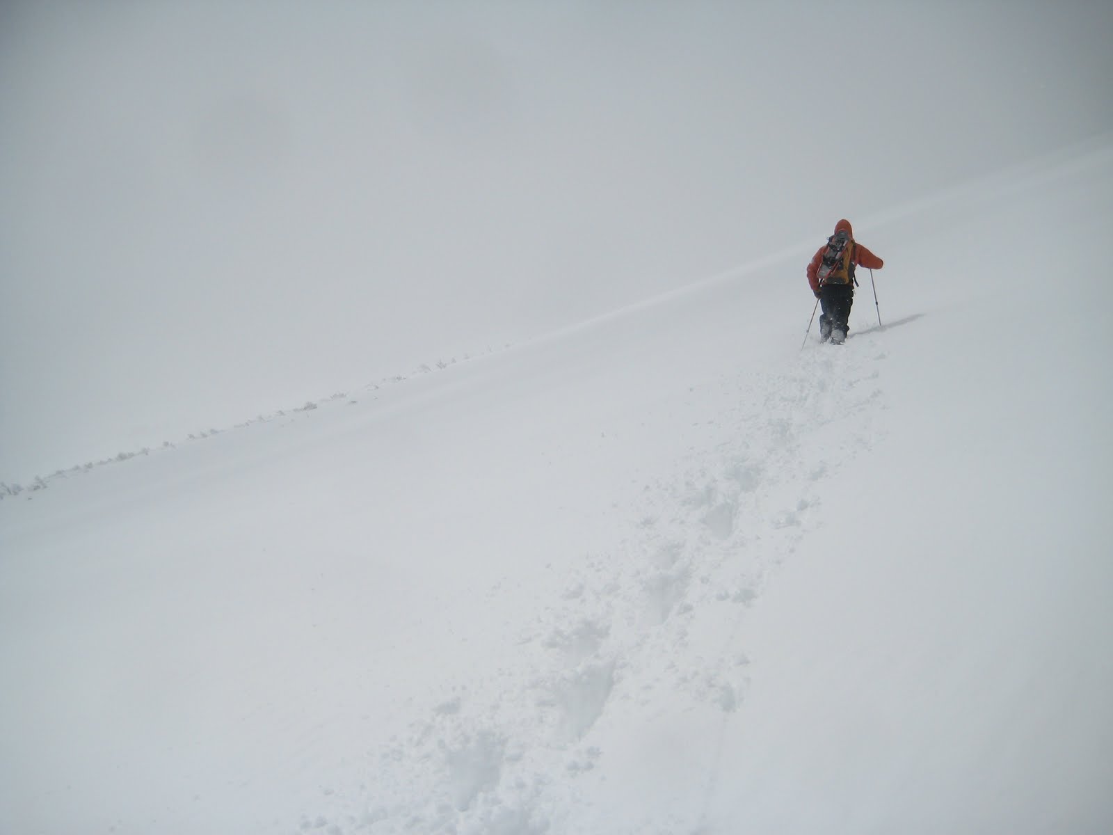
 The wind was sharp but variable, and a swirl of clouds rushed past overhead. At times, we were engulfed by white, but we knew that if we kept the small balsams to our left, we were in no danger of approaching the Ravine. The advantage in cultivating young climbing partners is that it leaves you little opportunity for trail breaking. Once over the ridge that marks the east edge of Bigelow’s Lawn, we turned left and soon encountered the cairns of the Crossover Trail. We followed these to the junction with the Davis Path, and then proceeded south, following the long, familiar line of cairns. Bigelow’s Lawn was absolutely deserted, white and clean and otherworldly.
 At the junction with the Boott Spur Trail, we could ease up a bit, as only downhill remained. Sheets of ice, for some reason, covered much of the ridge, allowing us to test out our crampons. Clouds still engulfed us from time to time, dramatically altering our perspective. One moment, I considered sliding down a long slope of powder but decided it was too steep; a moment later, the clouds shifted to reveal that it was only a few yards long.
  At the bottom of Boott Spur, we could not find where the trail entered the trees. The path takes a sharp left off the ridgeline, engulfing us in shadows. As we looked for a helpful cairn, I post-holed into powder up to my armpits. We put on our snowshoes and decided to circle around to the west, where we could find the Boott Spur Link, which descends into the Ravine. We came across its cairns unexpectedly soon, thankfully – I was not excited about the extra ascent.
 From there, our descent was swift. The Boott Spur Link is very steep; in our snowshoes, we could practically sled down. The Tuckerman Ravine Trail is far more pleasant as a cool-down than a warm-up, and we were back at the Pink Ham by four. Nine more months until next winter.
